This Unique Tulia Monument Might Just Help You Find The Ozark Trail
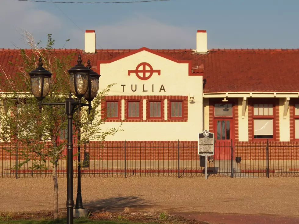
Hidden in plain sight at the corner of Maxwell and Broadway just a stone's throw from the Swisher County courthouse is a portal to the past in Tulia. It might not look like nothing much more than a monument welcoming folks to the Texas Panhandle town of just under 5,000 folks where there Hornets take the field on Friday Nights, The Otwell twins are remembered for their run on Lawrence Welk and The Tulia 46 still occasionally pop up in crime documentaries. But this marker harkens back to a time before the Mother Road made her way from Chicago to Los Angeles and instead a network of roads traversed from St. Louis to El Paso.

The Ozark Trails

The Ozark Trails came into being in 1913 as a project of financier and hotel operator William Hope Harvey who went by the nickname you would associate with a toll road "Coin." While the idea of connecting small towns in Missouri, Oklahoma, Texas and New Mexico sounds like a noble cause, it was simply about getting a decent road network that coincidentally led to his resort. At the time the federal highway system was non existent in the region and what roads where here were to put it mildly were hot garbage at best.
At it's height before it's organization's disbanding one could travel from St. Louis to El Paso and along the route also make connections to Amarillo, Roswell, Albuquerque, Oklahoma City and other points along the route and 21 markers were originally built to denote the trail. Like the Tulia one, they would provide distance information to towns along the route. Only a few in Texas remain besides Tulia, Wellington, Dimmit and a replica in Farwell. Take a look at the eastern destinations. I'll admit nearly a thousand miles to St. Louis is rough today and back then with roads that you couldn't go more than 30-40 miles an hour on on a good day that still must have been rough. Oh... by the way... the recommended speed limit was 20 miles per hour... ouch.

You can still drive it today
The trail itself was disbanded in 1925 when much of it was incorporated into the US highway system, The route from St. Louis, through Oklahoma City, Amarillo, Vega and Santa Fe was incorporated into the original US 66 highway before the route change in 1937. Much us Texas State Highway 86 follows another trail that takes you to Dimmit and ultimately Farwell where other markers still stand today. From Farwell, US 70 takes you along the rest of the route through Clovis, Portales, Roswell and ultimately Alamogordo where US 54 takes you to El Paso and the end of the line.

Tulia has seen a bit of change over the last 100+ years and so has the roads that take us there. We now drive on roads with wide medians, designed for high speed that are well marked in day and night and our cars have also certainly come a long way with better technology and more comfort, but it's always nice to wonder about the "what was." It may not be the mother road, but it certainly paved the way
Teeny Tiny Towns of the Texas Panhandle
Gallery Credit: Sarah Clark
The Drive-In: Amarillo's Classic Drive-In Theaters, Past and Present
Gallery Credit: Sarah Clark
Can You Guess These Towns From Their Satellite Photos?
Gallery Credit: Sarah Clark
More From 98.7 The Bomb